# OS NGD Land Use enhancements - Operational Status

## What is Operational Status

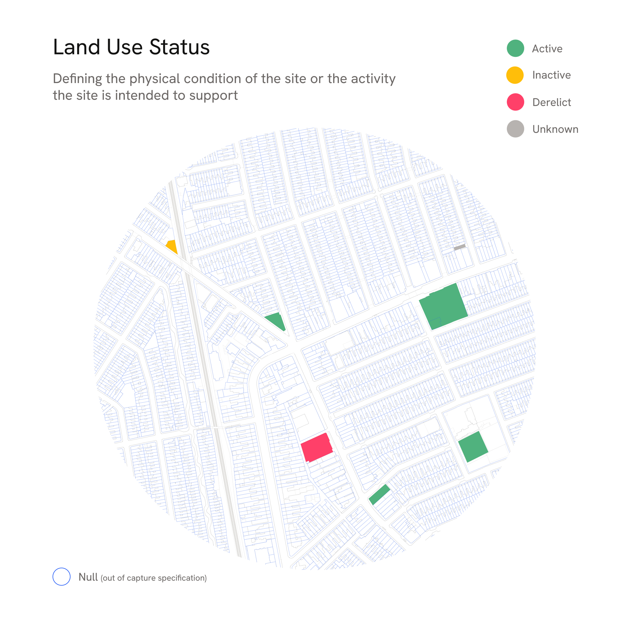
Known as “Status”, this is a new attribute for select features in the OS NGD Land Use, Land, Buildings, Structures, Transport (Road, Tracks or Paths and Rail) and Water Themes. ​

Operational Status describes the state of feature in relation to either its physical condition or the activity the feature is intended to support.​

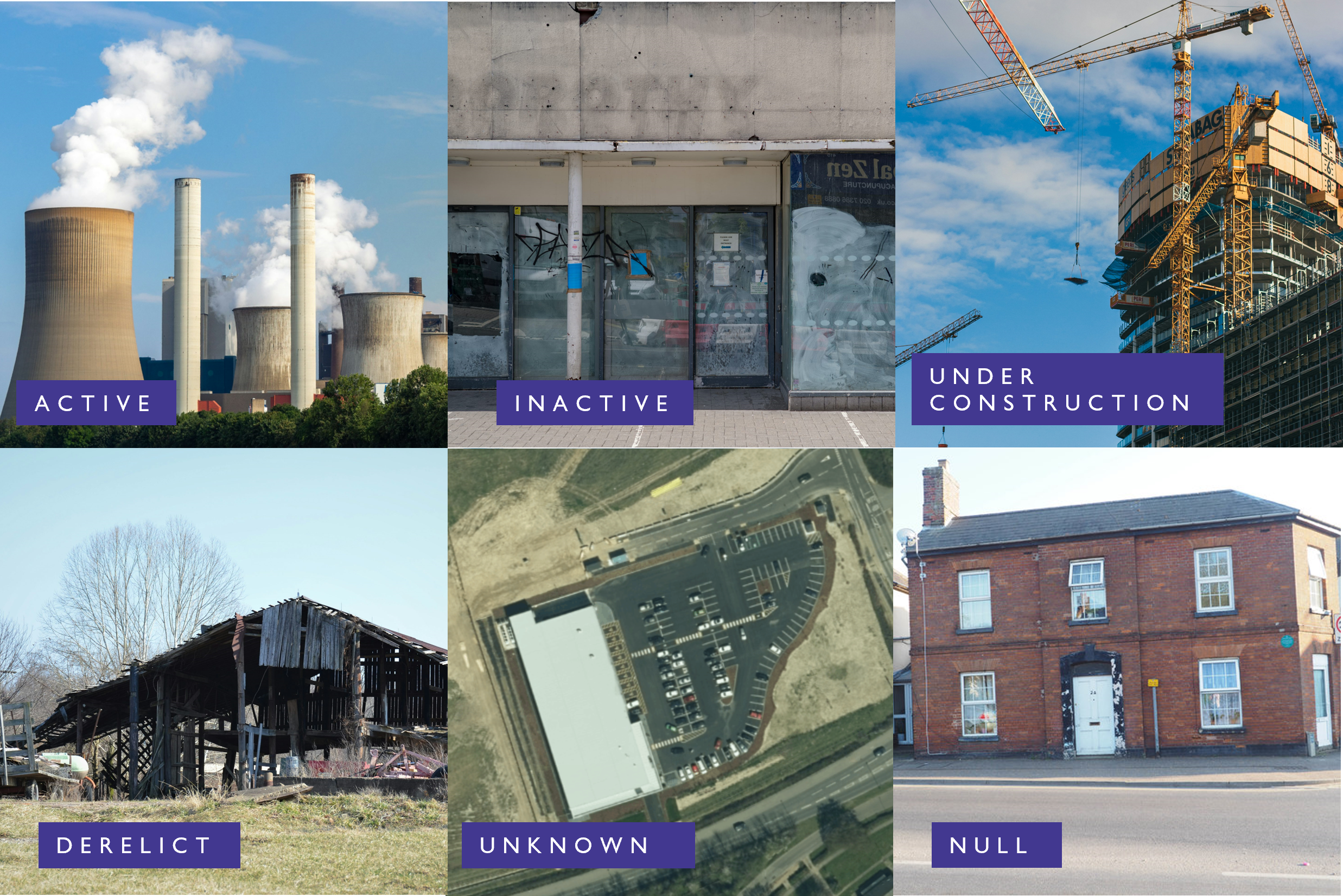
* Active – the feature is currently performing the function indicated by its land use attribution​

  Inactive – the feature is recognisable, but it is currently not performing the function indicated by its attribution
* Under Construction – the feature is recognisable, but it is currently not performing the function indicated by its attribution (applies to building part only)
* Derelict – the feature is in a state of disrepair sufficient that it can no longer perform its original purpose
* Unknown – A Site has been identified, typically from aerial imagery, but we have not yet determined that function (if any)​
* Null – A location where we do not capture Status

<figure><img src="/files/ShyjuZLf7CmQ5Q2LLbiV" alt="Image with 6 photographs illustrating examples of the 6 operational statuses"><figcaption><p>Examples of the Operation Status</p></figcaption></figure>

## What layers are affected by Operational Status enhancements?

The primary enhancements are to the Land Use Sites feature type:

<figure><img src="/files/cRqbkWNRWiDxtg6baWAD" alt="OS NGD Land Use features" width="239"><figcaption></figcaption></figure>

Layers that form the topographic data within the Land Use Sites are also included in this enhancement

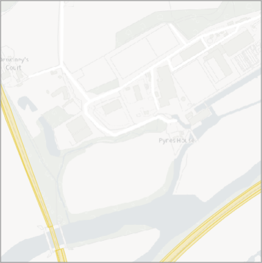
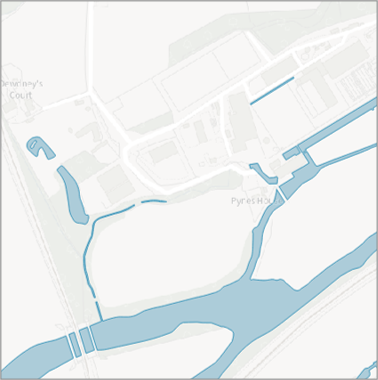
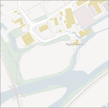
<div><figure><img src="/files/Bz5VFE3xAZcasr5JrCsS" alt="OS NGD Land features"><figcaption><p>Land</p></figcaption></figure> <figure><img src="/files/bjw5YkXFrxydvYoxTEgn" alt="OS NGD Structures features"><figcaption><p>Structures</p></figcaption></figure> <figure><img src="/files/deDfSPOitusB8hnlmxKB" alt="OS NGD Road, Tracks and Paths Transport features"><figcaption><p>Road, Tracks or Paths</p></figcaption></figure> <figure><img src="/files/Pyhl2WXcHY5roumfr0v6" alt="OS NGD Rail Transport features"><figcaption><p>Rail</p></figcaption></figure> <figure><img src="/files/ugsi8aoDuPkhLSSLWPua" alt="OS NGD Water features"><figcaption><p>Water</p></figcaption></figure> <figure><img src="/files/9Vi0jQCCsEWp9F4Zz7IM" alt="OS NGD Building Part features"><figcaption><p>Building Part</p></figcaption></figure></div>

click the above images to enlarge them

## Attribution Enhancements

There are 2 new attributes:

* Status - The state of the Site in relation to either its physical condition or the activity the feature is intended to support.​
* Status Update - Date when the attribute was last updated.​

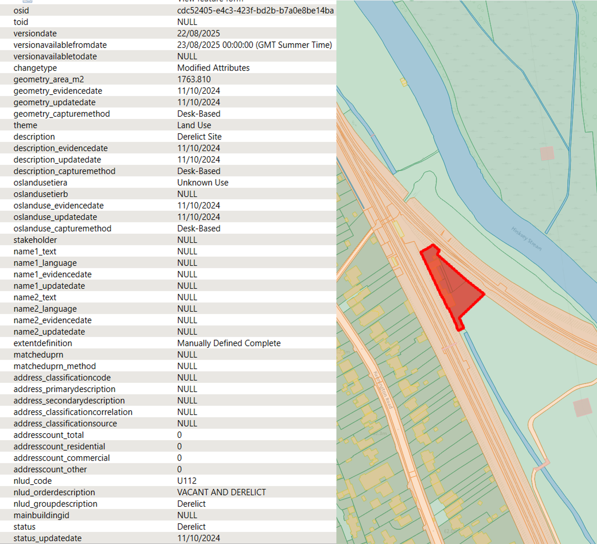
Existing attributes have been updated with new values for Derelict status. In the example below these would be:

* Description: “Derelict Site”​
* NLUD Code: U112​
* NLUD Order Description: “Vacant and Derelict”​
* NLUD Group Description: “Derelict”​

<figure><img src="/files/7qVx9SZrZKLn4M5XbxEi" alt="Image of a map and a table showing Operational Status attribution for a Derelict Feature "><figcaption><p>Operational Status attribution for a Derelict Feature </p></figcaption></figure>
## What do you need to know about Operational Status Enhancement

Structures, Transport or Water Features are not recorded as “Under Construction”​

​Scope: ​

* Operational Status is only recorded for a subset of sites. This includes over 100 site types, viewable within the OS NGD Documentation. ​
* If a Site changes to a different type where Operational Status is not recorded, then the attribute will be made Null ​​

The capture guidance for “Derelict”: ​

* Structures which are in a ruinous, damaged, or potentially unsafe condition ​
* Structures may be visibly internally gutted and reclaimed by vegetation​
* Occupation will be extremely unlikely without major redevelopment/demolition and rebuild first​
* Surrounding land is in a neglected condition, overgrown and unmaintained. Hardstanding (made surfaces) maybe broken-up and unusable, would need to be removed and relayed to become usable again​
* There is the presence of random debris or waste​
* Not all derelict buildings will be captured in our data, because change intelligence to say when a residential house has been boarded up and now sits derelict is not available.

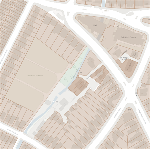
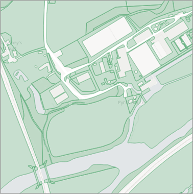
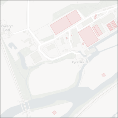
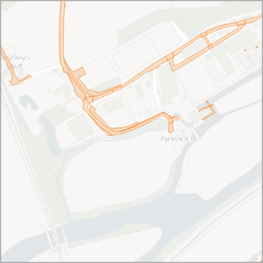
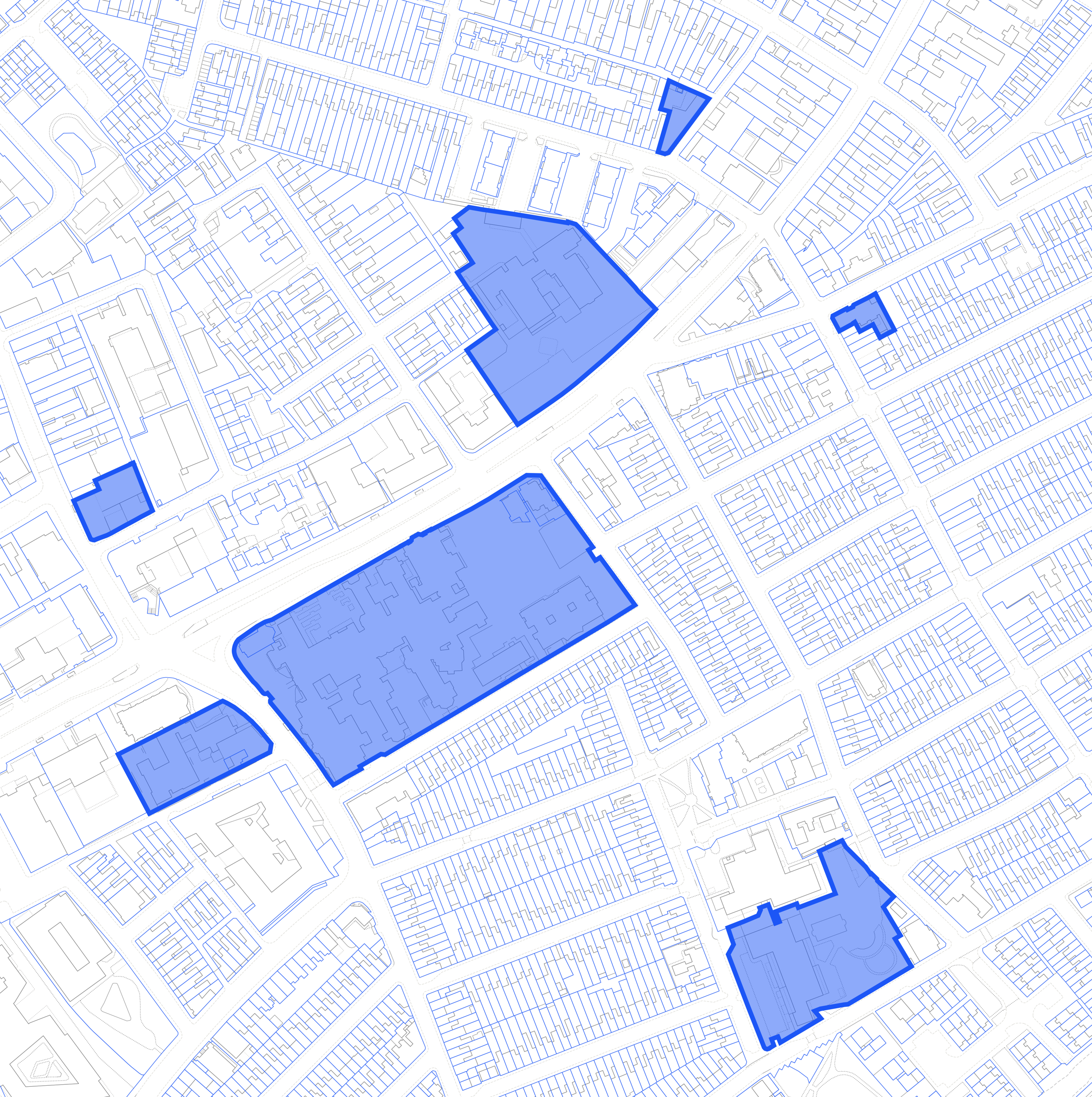
<figure><img src="/files/j7Rj6xTxy54xANOeRbjp" alt="Image of 7 OS NGD Sites with Operational Status attribution" width="563"><figcaption><p>OS NGD Sites with Operational Status attribution</p></figcaption></figure>

Where has the Operational Status data come from?​

Operational Status is determined by a mix of OS and 3rd party data sources ​

​OS data capture:​

* Interpretation of OS topographic data and aerial imagery​
* Ground survey for ongoing maintenance ​

​3rd party data:​

* Scottish Vacant and Derelict Land Survey ​
* Brownfield Land (Sites and Land datasets, England only) ​
* We are currently unable to identify a source for 3rd party data in Wales​

​

<figure><img src="/files/pvSxLOjoB5nFn8eDMKMF" alt="Image showing OS NGD Land Use sites with Operational Status" width="563"><figcaption><p>OS NGD Land Use sites with Operational Status</p></figcaption></figure>

***

Links that may be useful:

{% embed url="<https://osngd.gitbook.io/osngd/>" %}

{% embed url="<https://osdatahub.os.uk/>" %}

{% embed url="<https://www.ordnancesurvey.co.uk/business-government/products/os-select-build>" %}

This content has been developed from what was originally a Lightning Talk PowerPoint slide set. These slides are available to PSGA members to view and download from the [PSGA members area of the OS website](https://auth.ordnancesurvey.co.uk/my.policy)


---

# Agent Instructions: Querying This Documentation

If you need additional information that is not directly available in this page, you can query the documentation dynamically by asking a question.

Perform an HTTP GET request on the current page URL with the `ask` query parameter:

```
GET https://docs.os.uk/more-than-maps/data-demonstrators/topography-demonstrators/os-ngd-land-use/os-ngd-land-use-enhancements-operational-status.md?ask=<question>
```

The question should be specific, self-contained, and written in natural language.
The response will contain a direct answer to the question and relevant excerpts and sources from the documentation.

Use this mechanism when the answer is not explicitly present in the current page, you need clarification or additional context, or you want to retrieve related documentation sections.