Page cover
For the complete documentation index, see llms.txt. This page is also available as Markdown.

Code-Point Open Documentation

Here you will find all documentation for the Code-Point Open product.

An open dataset of all the current postcode units in Great Britain. For each postcode, Code-Point Open provides a positional quality indicator (PQI), country code, NHS area code along with local government county, district, and ward codes.

This product is updated quarterly in February, May, August and November.

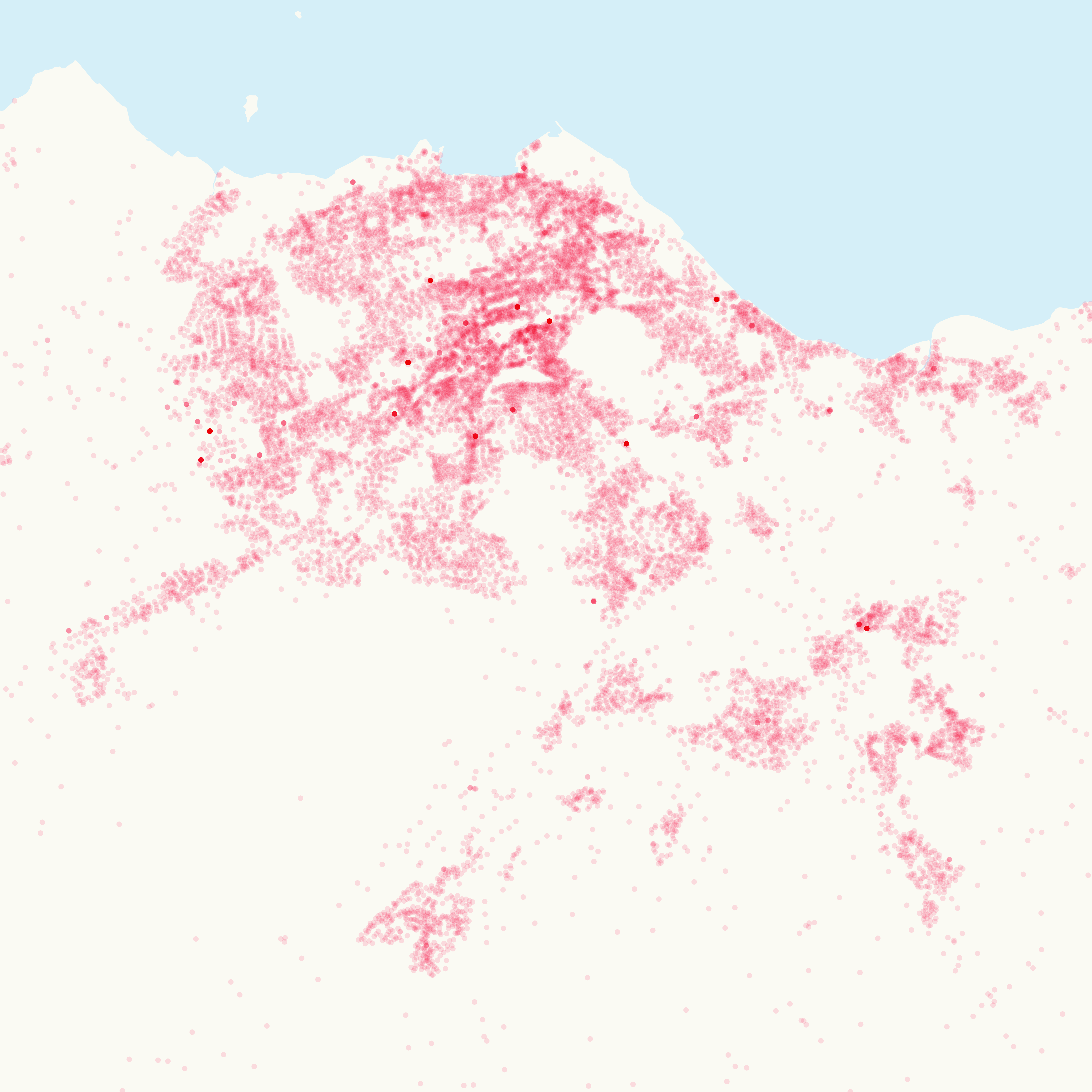
A representation of Code-Point Open data showing the area surrounding Edinburgh and the Lothians
A representation of Code-Point Open data.

Locate your analysis

Link any dataset that includes postcode data to the postcode location in a GIS and build up a spatial picture of your data.

Link statistical and numeric datasets to your postcode data

Using ONS administrative unit codes and NHS health authority code attributes in each postcode.

Additional attributes

To give you extra analytical power, Code-Point Open includes NHS authority and administrative unit codes.

Authoritative data

Code-Point Open provides accurate coverage of the 1.7 million postcodes in Great Britain. The product is updated quarterly.

Code-Point Open can be used to display and analyse any data collected at the postcode level. The product can be used in variety of applications, including:

  • Site location

  • Enabling web searches

  • Market analysis and profiling

  • Health and epidemiology

  • Resource allocation

  • End-to-end journey route planning

  • Socio-economic profiling

  • Sales targeting

  • Access: Download via the OS Data Hub

  • Data theme: Administrative and Statistical Units

  • Data structure: Vector – Points

  • Coverage: Great Britain

  • Scale: 1:1 250 to 1:10 000

  • Format: CSV, GeoPackage

  • Ordering area: All of Great Britain

  • Publication months: February, May, August, November

Northern Ireland coverage

Northern Ireland postcodes aren’t included in Code-Point Open, but they are present in Code-Point.

Code-Point accuracy and resolution

Code-Point is created by taking the average of the coordinates of all the individual addresses in a postcode (provided we have any of sufficient quality), then snapping to the nearest of those addresses. Code-Point then delivers the coordinates of that address, as representative of the whole postcode, to a resolution of 1metre.

The accuracy of a Code-Point Open record could be expressed as, that the coordinated position will always be within the notional geographical extent of the postcode. The accuracy of each postcode unit coordinate pair is defined by the positional quality indicator (PQI) which provides a quality statement of a Code-Point record.

How to get this product

Access to this OS OpenData product is free through the OS Data Hub.

What's next?

To access documentation and resources relating to this product, please refer to the following:

New users should start with the Overview to gain high-level insight into the product. The Getting Started Guide will help you to begin using product data in different software systems. The Technical Specification contains detailed technical insights.

Last updated

Was this helpful?