MID/MIF and TAB single-space postcodes using MapInfo
The process within MapInfo is the same regardless of whether the original supply is in TAB or MID/MIF, as both get imported to MapInfo and opened as a .TAB file. 1. Create a new column, of Character (8) type, in the Code-Point Polygons table (CP\_Polys.TAB) as column 3. Give it a meaningful name like ‘SS\_Postcode’ (go to Table > Maintenance > Table Structure). Save the table.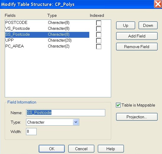
Modify Table Structure: CP_Polys screen with SS_Postcode field highlighted.
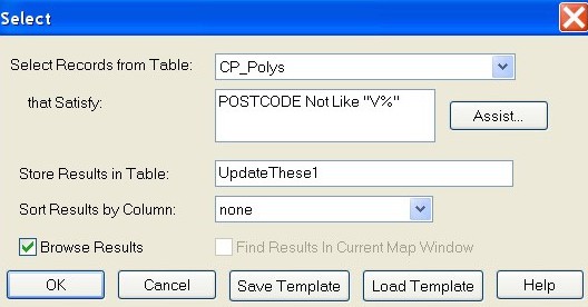
Select dialog box showing the relevant query parameters detailed above
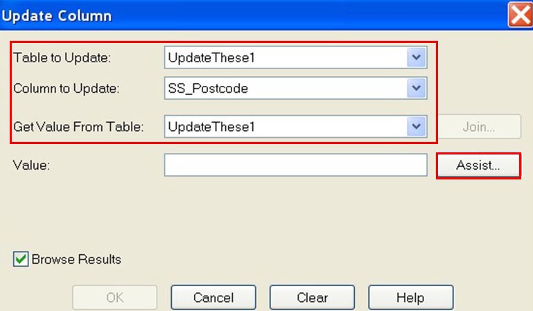
Update Column dialog showing the table and column to update and value from dropdown filled with details in step 5.
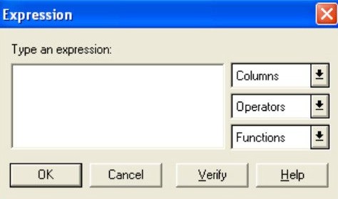
Expression dialog box without details entered
*RTrim$(Left$(\
**This process must then be re-run for the postcodes that were originally vertical streets also:**
1. Change the Store Results in Table field to read ‘UpdateThese2’. Click the OK button to apply the query. *POSTCODE like “V%”* * Click on Query > Select – this brings up the Select Query dialogue box. Ensure that the Code-Point Polygons table, CP\_Polys, is being selected from and enter the following expression in the that Satisfy field:
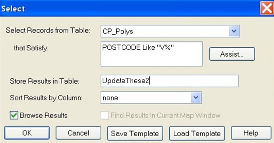
Select screen showing records being selected from the CP_Polys table
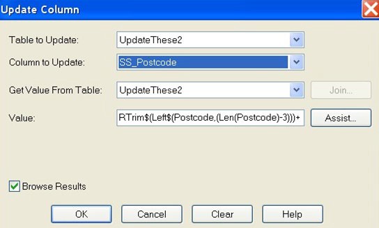
Update column dialog box