GeoDataViz basemaps
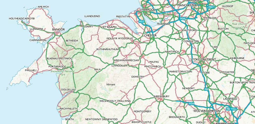
Often referred to as a contextual or backdrop map, a basemap contains reference information used to both orient the map and add context to any data that is overlaid. Basemaps come in a variety of types, styles, and scales, from full detail to understated ‘background’ styles.
Colour values for the OS basemap styles found below can be downloaded from GitHub. Feel free to use these colours to style up your own vector data.
The OS range of basemap styles
We have created four house styles for our basemaps:
Road: A familiar style with a focus on transport networks - specifically highlighting the Great British road network. High in contrast with lots of detail and colour, this style will fit many uses and satisfy those who are familiar with traditional OS maps.
Outdoor: Designed for outdoor leisure and borrowing certain design elements from our traditional paper maps this style focusses on terrain and land cover, has a minimal colour palette and contains familiar symbology.
Light: Designed specifically for data visualisation, this style has a subtle palette and is simple and clear. Use it to add geographic context and make your own data shine.
Night: Night mode mapping that's great in dark environments. It's at its best on a mobile device, and the dark pixels can help save your battery. See your own data really pop using this style.

Selecting the right basemap style
If you are not intending to add any data overlays then use the Road style. If your application is Leisure focused or if the road network is of particular importance then you should use Outdoor. If you want to overlay additional layers of data and you are looking for a basemap to simply add context then you should use Light or Night – the decision as to which is purely an aesthetic one however, using a dark basemap can be arguably more 'eye-catching', yet Light can be more 'practical'. Dark basemaps work particular well on screen.
The colours we use have been tested for accessibility and all maintain a clear visual hierarchy.
OS Maps API
All of these basemaps are available through the OS Maps API. More information and the documentation can be found here.
Raster or vector
If you are using a raster basemap then you have less control over the styling. You can still improve it by desaturating the colours or even converting it to greyscale.
If you are using vector data to design your own basemap then you have full control over the content and the style. We have a range of cartographic stylesheets that can help you get started when using OS data products.
Other useful resources
Effective basemaps - this blog post explores the options available and shares some useful tips for presenting your contextual data effectively.
Last updated
Was this helpful?