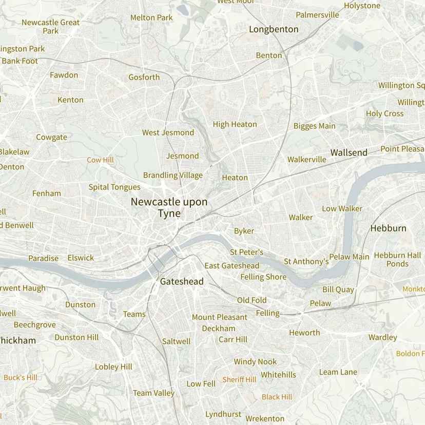
A representation of OS Open Names data against a background map
A representation of OS Open Names data against a background map
| Cover image | ||||
|---|---|---|---|---|
| OS MasterMap Product Viewer | Interactive demonstrator of OS MasterMap Generation data | VectorMap-Local-1.png | https://experience.arcgis.com/experience/20981dabcb14402687dccb437a4a78fb/ |
| Cover image | |||
|---|---|---|---|
OverviewThe overview introduces OS Open Names and gives context for all users – highlighting key features, providing examples of potential uses, and listing details such as file sizes, supply formats, etc. | Open-Names-5.png | https://docs.os.uk/os-downloads/products/addresses-and-names-portfolio/os-open-names/os-open-names-overview | |
Getting Started GuideThe getting started guide provides instructions for using OS Open Names in different software applications. Users with limited technical knowledge will be able to follow this guide. | Open-Names-4.png | https://docs.os.uk/os-downloads/products/addresses-and-names-portfolio/os-open-names/os-open-names-getting-started-guide | |
Technical SpecificationThe technical specification provides detailed technical information about OS Open Names. It is targeted at technical users and software developers. | Open-Names-1.png | https://docs.os.uk/os-downloads/products/addresses-and-names-portfolio/os-open-names/os-open-names-technical-specification | |
DownloadsThe downloads page provides links and resources to support the application of OS Open Names within your environment. | Open-Names-2.png | https://docs.os.uk/os-downloads/products/addresses-and-names-portfolio/os-open-names/os-open-names-downloads | |
Ordnance Survey Website | View OS Open Names product information and find out how to get this product on the OS website. | Open-Names-5.png | https://www.ordnancesurvey.co.uk/products/os-open-names |


