> For the complete documentation index, see [llms.txt](https://docs.os.uk/more-than-maps/llms.txt). Markdown versions of documentation pages are available by appending `.md` to page URLs; this page is available as [Markdown](https://docs.os.uk/more-than-maps/geographic-data-visualisation/geodataviz-assets/how-did-i-make-that/great-britains-islands.md).
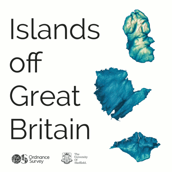
# Great Britain's Islands
Great Britain is an island in its own right, but aside from the mainland, there are hundreds of islands around the British coast, many uninhabited\*.
Inspired by [David Garcia](https://www.esquiremag.ph/culture/lifestyle/How-This-Philippine-Geographer-Is-Upgrading-Our-Maps-as-We-Know-It-a1926-20170802)’s data visualisation of the Philippines, our GeoDataViz team worked with [Alasdair Rae](http://www.statsmapsnpix.com/) at the [University of Sheffield](https://www.sheffield.ac.uk/) to explore the largest of Britain’s islands.
Great Britain's Islands
They found that there are 82 English, Scottish and Welsh islands larger than 5km2. Scotland boasts the vast majority with 71, not surprising when you consider the Outer Hebrides, Shetland and Orkney and other beautiful islands off the coast. Wales had just 2 entries and England 9.
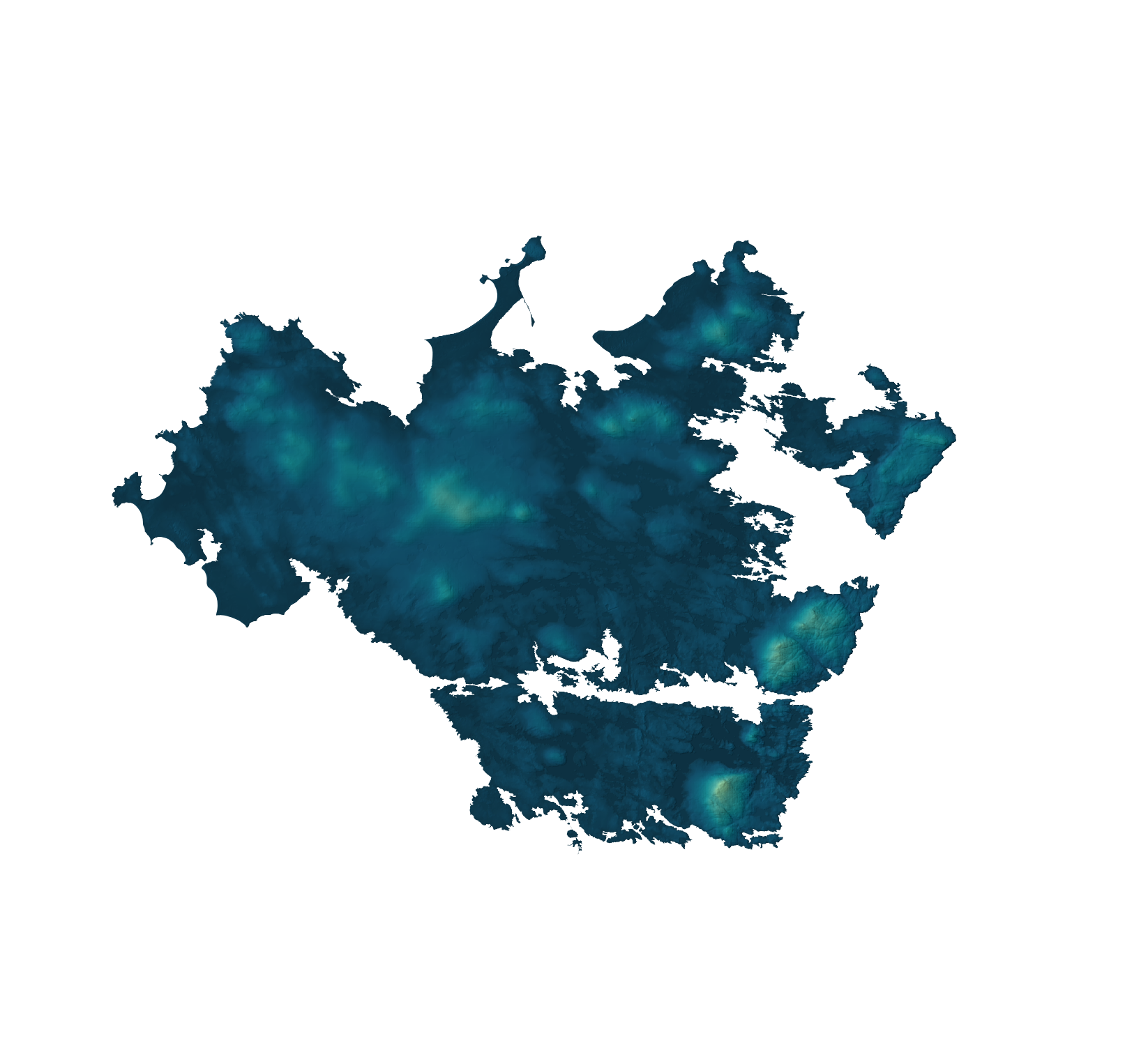
North Uist
The team used [Boundary-Line](https://www.ordnancesurvey.co.uk/business-and-government/products/boundary-line.html) to define the area and length of coastline for each island, with some interesting results. While Lewis and Harris topped the tables for being the largest island by area and boasted the longest coastline, not all islands had such a correlation. North Uist (shown below) was the twelfth largest island, but has the fifth longest coastline. Conversely, Arran was the eighth largest island but has the eighteenth longest coastline.
Adding in data from [AddressBase](https://www.ordnancesurvey.co.uk/business-and-government/products/addressbase-products.html), the GeoDataViz team compiled the number of residential addresses on each island and quickly realised that having the largest area does not equate to having the most addresses. Mull is the fourth largest island, but eighteenth when you look at addresses. Portsea Island tops the table for most residential addresses, but is 38th in the list of islands be area.
### How we created the visualisation of Britain’s islands
To create the beautiful islands poster, our GeoDataViz team loaded the data into a PostGIS database. From here, they could analyse the data to calculate island area, coastline length and residential address counts. Once completed, they imported the data to QGIS, where we applied colour schemes (we used our GeoDataViz Toolkit for this) and other styling elements. Each island was exported separately and then imported into Adobe Photoshop to produce the poster layout and apply the final touches.
Alasdair complemented this with a gif to showcase more of the islands’ data. Alasdair has been a keen user and sharer of our data since the OS OpenData portal went live in April 2010. He formerly led the MSc in Applied GIS at the University of Sheffield, of which Joe Harrison (the poster designer) is a recent graduate, and has a longstanding interest in geovisualisation so he was an ideal person to collaborate with on this project.
### Facts and figures
#### **Top 5 islands by area**
1. Lewis and Harris
2. Skye
3. Mainland, Shetland
4. Mull
5. Anglesey
#### **Top 5 islands by length of coastline**
1. Lewis and Harris
2. Mainland, Shetland
3. Skye
4. Mull
5. North Uist
#### **Top 5 islands by residential addresses**
1. Portsea Island
2. Isle of Wight
3. Anglesey
4. Isle of Sheppey
5. Canvey Island
### Find out more
You can buy the full poster via the [Ordnance Survey shop](https://shop.ordnancesurvey.co.uk/great-britains-islands/).
\*Please note we are looking at Great Britain’s islands, so this doesn’t include Northern Ireland’s islands, the Isle of Man or the Channel Islands. You can see more about the difference between Great Britain, the United Kingdom and our Crown Dependencies [in this blog](https://www.ordnancesurvey.co.uk/newsroom/blog/whats-the-difference-between-uk-britain-and-british-isles).
\\
---
# Agent Instructions
This documentation is published with GitBook. GitBook is the documentation platform designed so that both humans and AI agents can read, navigate, and reason over technical content effectively. Learn more at gitbook.com.
## Querying This Documentation
If you need additional information that is not directly available in this page, you can query the documentation dynamically by asking a question.
Perform an HTTP GET request on the current page URL with the `ask` query parameter, and the optional `goal` query parameter:
```
GET https://docs.os.uk/more-than-maps/geographic-data-visualisation/geodataviz-assets/how-did-i-make-that/great-britains-islands.md?ask=&goal=
```
`ask` is the immediate question: it should be specific, self-contained, and written in natural language.
`goal` is optional and describes the broader end goal you are ultimately trying to accomplish on behalf of the user. GitBook uses it to tailor the answer towards what is most useful for that goal.
The response will contain a direct answer to the question and relevant excerpts and sources from the documentation.
Use this mechanism when the answer is not explicitly present in the current page, you need clarification or additional context, or you want to retrieve related documentation sections.