
Raster data shown in the file explorer to be opened
Raster data shown in the file explorer to be opened
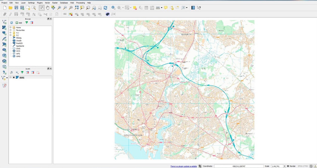
Raster data loaded into main map window QGIS

Map navigation toolbar
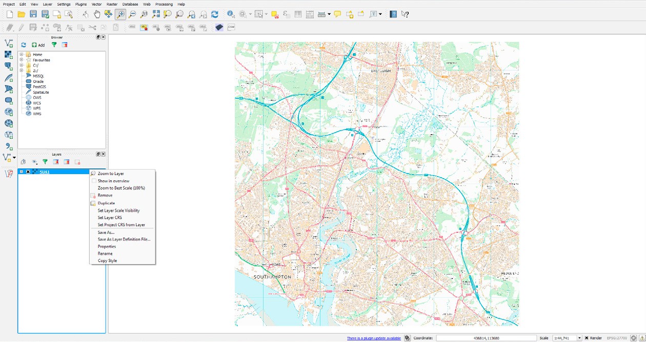
‘Zoom to layer’ shown in the context menu QGIS
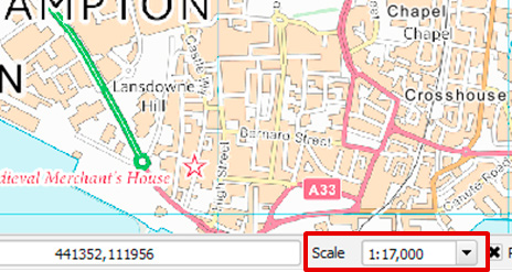
Map shown at 1:17,000 in the main map window